Space exploration and monitoring have become more accessible due to advancements in small satellite technology and reduced launch costs. This has opened up new possibilities for specialized applications, such as monitoring global pollution, observing agricultural conditions, and enhancing weather and climate data collection.
One of the latest applications benefiting from these technological advancements is wildfire detection, which is now being significantly improved through innovative satellite initiatives.
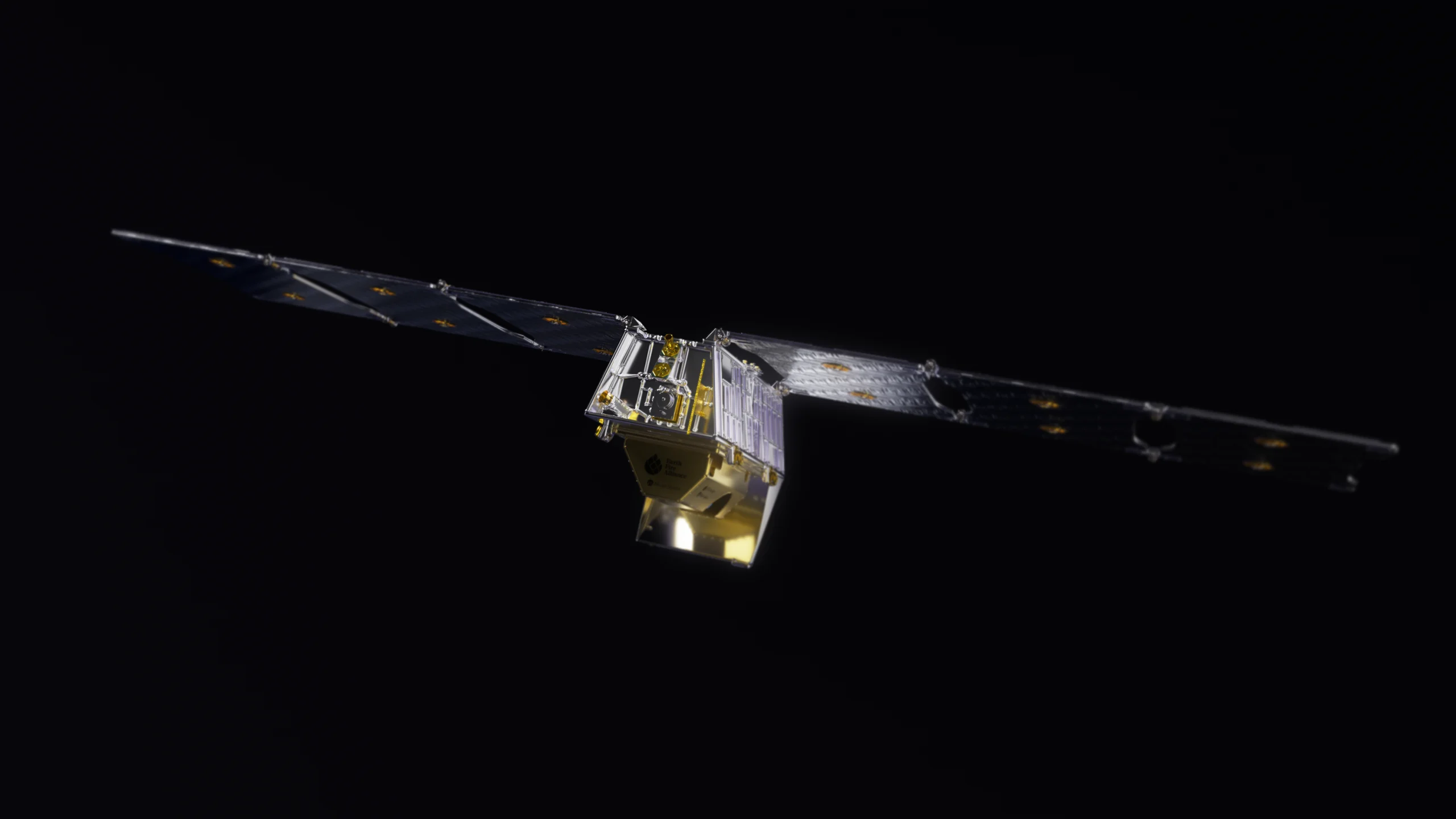
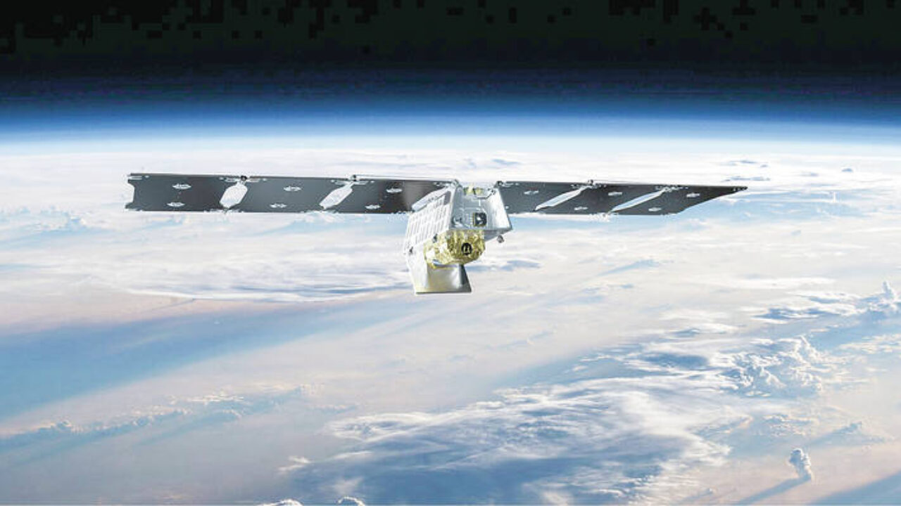
The FireSat constellation represents a groundbreaking approach to wildfire detection. Funded in part by Google’s philanthropic efforts, this initiative involves deploying over 50 small satellites in low-Earth orbit.
These satellites will be equipped with advanced infrared sensors capable of detecting wildfires as small as a classroom anywhere on the planet. Managed by the Earth Fire Alliance (EFA), FireSat aims to create the first fleet specifically designed for the detection and tracking of wildfires.

Google has recently contributed $13 million to support the FireSat constellation, further advancing its development. This funding will ensure that the first FireSat pathfinder satellite is launched on schedule next year, with the full operational constellation expected to begin deployment by 2026. This investment underscores Google’s commitment to improving fire management and climate action through technological innovation.
The FireSat satellites will be constructed by Muon Space, a startup specializing in satellite manufacturing. Each satellite will feature six-band multispectral infrared instruments to detect wildfire hotspots with high sensitivity. The system will leverage Google’s AI to analyze fire data rapidly, taking into account factors such as local infrastructure and weather conditions to provide precise fire assessments.
Compared to existing fire-detection systems, such as those operated by NASA and Planet’s commercial satellites, FireSat offers superior sensitivity, resolution, and response time.
The constellation’s ability to provide frequent updates—potentially as often as every nine minutes in high-risk areas—will greatly enhance emergency response capabilities. This development highlights the growing role of private investment and affordable satellite technology in advancing space-based environmental monitoring.


Leave a Reply